Position: We are a couple more days south of the equator and approaching half way to French Polynesia. Our position is:
04 08.16S 105 55.87W
*Note: I am told you can copy and paste these coordinates into google earth and it will show you where we are.
Mileage: 2107 – 1988nm= 119nm
Number of miles to go: 1988nm to go of approx. 3850nm. We almost half way to French Polynesia.
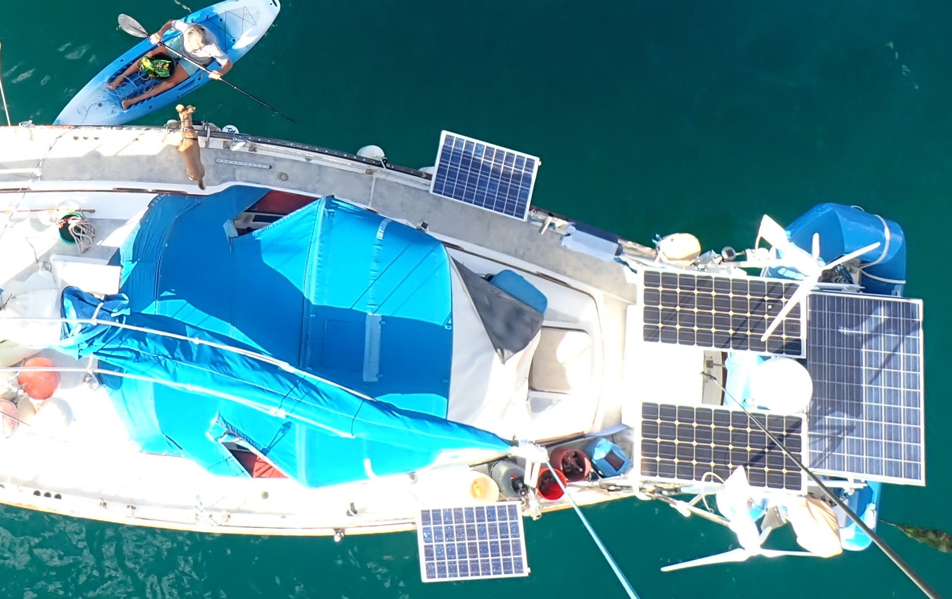
Fish count: The count remains the same. 4 Mahi Mahi, 2 Cero and 6 tuna. One Marlin that we were happy got away! We need to eat a bit more out of freezer to make some more room.
GOOD MORNING
We woke up this morning to a display of acrobatics. Great schools of flying fish were shooting out of the water, flying through the air, and if they were not caught by the frenzied attempts of the boobies, they landed safely back in the water. I assume that a big school of tuna were down below and driving them up. That would explain the giant fishing boat last night that tried to scare the pants off us. He came hurtling right at us, despite the fact we did our best to light the boat up like a Christmas tree. He ignored our hails on the radio and, after coming close enough to get a good look at us, they turned off behind us. No AIS, but we only have a receiver, so we can not pick on him. I am sure they thought scaring us was very funny.
A BEAM SEA
We turned off of our Southerly heading at 4 degrees South. The grib files and friends at home told us we might get some more Easterly winds and a favorable current around this latitude. All we have found is Southerly winds so far. The waves are also from the South. So they are now coming up and taking us on the beam (the side of the boat).
The swell in the Pacific can be amazingly big. Luckily they are usually well spaced apart. They rise up like gentle giants, hoisting the boat well up into the air, and then gently lower it into a pit between them. The wind can strengthen (make bigger) the swell, if it is in the same direction, or create a choppy effect on the wave surface. If the wind is in a different direction to the swell you can get waves from two different directions. Our mono-hull never really likes a beam sea. The waves usually knock her over on her side, making her roll side to side as she tries to right herself. If the waves are breaking they either slap the side, and splash water into the cockpit. Or they knock the boat over and break on the low side sending water sloshing up and into the cockpit for that side.
LUCKILY the big old Pacific waves are not breaking today. So we are just rolling like a ‘pig in shite’ instead. But at least we are not nose to the wind for change. Change can be good???
COMMUNICATIONS AT SEA
Access to the internet has become expected in our modern lives. But traditional avenues of communication and information are limited once you leave the coast line. Out at sea you really have only two choices. Satellite phones or Single Side Band radios. Now I am not techy, but I will do my best to explain these options to you.
Satellite phones are easy to understand and use. Instead of connecting to the internet through fibre optic cables or you local cell tower you are using the host of satellites that circle the Earth. The cost of Sat phones has gone down in price a lot, but air time can be expensive and you are usually committed to yearly packages to get any discount. You really only need the Sat phone on longer passages.
The other option is a Single Sideband radio (SSB). It is expensive to buy and set up an SSB (relative to purchasing a Sat phone) but then your air time is free. The Sat phone can ‘usually’ connect you directly to someone depending on the Satellite coverage of the area. With the SSB you have to agree to ‘meet’ up with people on a specific frequency or use a modem to send and receive email messages and weather texts.
My humans decided to go with an SSB radio and a modem. They initially did this because the radio was already fitted on the boat when they bought it. So the only additional expense was the Pactor modem for emailing. They used this system for our Atlantic passage. Updating the blog, getting weather forecasts and emailing friends and family. When they arrived in the Caribbean they found the SSB had many other uses. They discovered a weather forecaster CHRIS PARKER announced the weather for your area every day on the radio. My humans would start each morning with a coffee and a listen to this weather net. As they traveled to different groups of islands they found other nets on the radio. These were set up by other cruisers to help share information on the area and answer questions. There was even one for the San Blas island each morning. Great ways to find out ‘Where can you get gas cylinders filled with propane?’. People also set up support nets on the SSB radio passages. When a group is doing a crossing together they try to meet up on a frequency at a set time to check up on each other. You can even catch BBC radio broadcasts sometimes.
So you have been getting my blog updates via a radio. I write the text in digital format (computer). A modem translates it to analog. The SSB radio fires that signal off the atmosphere where it is picked up by receivers set up around the world. The receiver translates it back to digital and sends it on, through traditional communications, to our blog host email address and their program. That program prints it out on our blog page for you to view.
VIOLA! WORDS TRAVELING THROUGH THIN AIR, GREAT DISTANCES, TO YOU! HOW COOL IS THAT?
END


