Unfortunately will soon be time to say goodbye to the Bahamas for the hurricane season.
But, before I talk about leaving, lets take a moment to praise the Bahamas.

We have been pleasantly delighted with the Bahamas as a cruising ground. Mind you we have barely seen a portion of it. The area and number of islands and cays greatly exceeds those offered in the Eastern Caribbean.
The Bahamas
The Bahamas
The Bahamas
The Bahamas
The Bahamas
The Bahamas
The Bahamas
We choose a more ‘non-traditional’ route through the Bahamas staying along the outer eastern edge of the string of islands. This route is more exposed to the Atlantic then the more ‘traditional’ route up the Ragged Islands and Exumas to the west. But we are going north in the more settled weather of spring and plan to return next season, in the more unsettled weather of autumn, down the more ‘traditional’ less exposed route. Mind you, both routes have their fair collection of exposed and sheltered anchorages in the event of a storm front. No where is completely safe in a hurricane.
From what we have experienced, the Bahamas are a delightful place to cruise and fully understand how some cruisers choose to go nowhere else.

There are so many islands and cays to explore, there is no way you could do them all in a single sailing season. You have a choice of cities, towns and villages to visit, or isolated beaches, mangroves and rock pools. No island, cay or anchorage is more than a day sail away from each other.

The locals are surprisingly content, happy and friendly. Always making time for a chat. There is little or no crime, except in the largest of cities. It is the first place we have felt comfortable enough not to lock the dingy. Friends on Prospero, who spent the majority of the sailing season here, have never locked their dingy once. Surprisingly there is pretty good 3G mobile internet coverage over most of the area, and data cards are readily available in most towns.
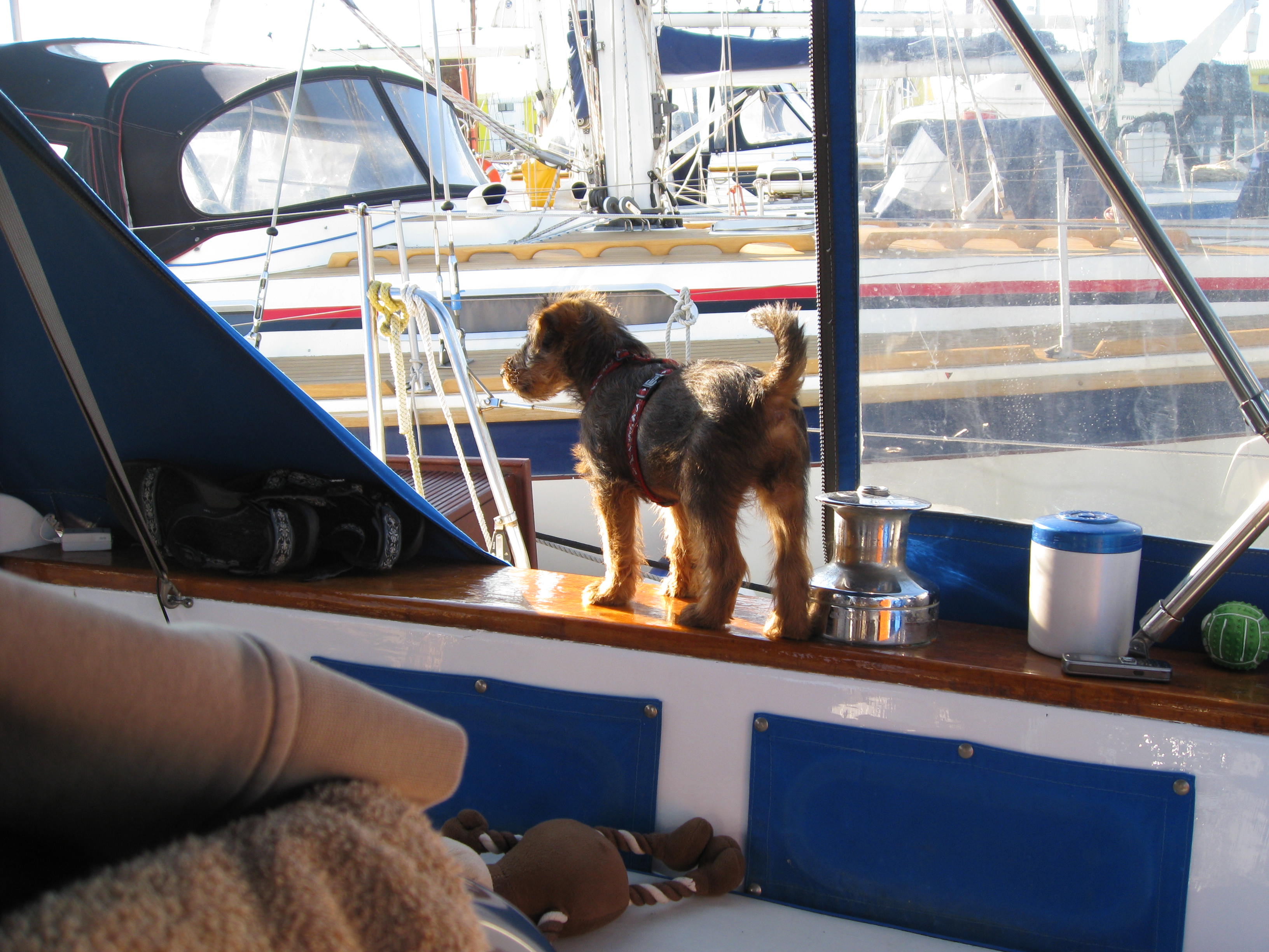
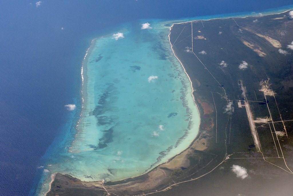
We are avid snorkelers and divers. The Abacos has been like a dream for us. The warm clear shallow waters here make the whole area a giant aquarium. Most Islands and Cays are only a hours sail apart, through the sheltered waters of the Sea of Abacos, leaving plenty of time each day for adventure. It is a little like the BVIs without the charter boats.

But, the Bahamas is expensive. Fuel, food, entertainment and hard wear are very expensive. All alcohol, except rum, is well overpriced. You need to stock up on ‘everything’ before you come. It would be well advised to have a freezer, especially if living on fish and conch turns you off. If you ‘hold out’ and stock back up on fresh supplies on the bigger islands (Marsh Harbour, Great Abaco Island) you will save a bit. The smaller settlements will charge you as much as $6 for a loaf of bread and $7 for a head of lettuce. There are few opportunities to get internet connections and you will probably need to get a data card ($30) and data top ups ($15/2GB).
It is also very shallow. Unless you have a very shallow draft boat you will have to keep an eye on the tide times and your depth gauge. You will have to get comfortable dodging coral heads and having little clearance under your keel.

Unfortunately all good things must come to an end.
The warm air and seas that bring on predominately settled weather this time of year, can also stir up summer storms that can reach hurricane proportions.
The ‘traditional’ hurricane season runs from June-November, with August and September having the highest incidences of hurricanes in the Caribbean and Southern United States.
The Bahamas
Although it is important to monitor the weather to choose appropriate anchorages and passages, it becomes vital to keep track of it in the summer months. We are using and comparing three sources of information depending on their availability. Chis Parker on SSB 4045MHz broadcasts Mon-Sat. at 6:30am. Sailmail and Zygrib provide comparisons. Even so, it is only a matter of time before some bad weather hits. The longer we stay the greater the chance of getting hit. With this in mind and family commitments quickly approaching, it is time to plan an ‘Exit Strategy’.
So where do you go?
I don’t know.
It is an honest answer. Everyone seems to have different opinions.
Some boats are heading south, hurricanes track north when they hit the Caribbean, and it is much cheaper to stay on most islands down there.
Trinidad and Tobago
Some boats are heading north up the coast of the United States. The majority trying to get up as far as Virginia, although hurricanes have tracked as far north as New York recently. Many of these boats are using the protection of the Intercoastal Waterway.
But, of course, we have decided to take ‘the route less travelled’. We have decided to head to Jacksonville, Florida (Green Cove Springs, to be exact).
The anchorages, marinas and boat yards, up this large deep estuary, are well inland and protected from Atlantic storm surge. Historically the area is rarely in the path of hurricanes and is an economical area to work on your boat. There are plenty of attractions to visit on days off and you are strategically placed to come back to the Bahamas next season. For these reasons we have decided ‘to go for it’ and see. Worst comes worst, we can always head north, up the Intercoastal Waterway, with the rest of them.
It is also a home-coming for our boat Spirit of Argo. It was here we purchased the boat in 2003 and sailed it back to England to prepare for this journey. It is kind of fun that we have done a full circle. Crazy that it took us so long to save up to do it.
So, next we need to figure out how do you get there?
Well to be honest, it all depends on the weather.
Of course we want calm conditions, but we would also like some wind so we can sail. Right now the Gulf Stream crossing is flat as a pancake, but no wind. Cross now and you will waste a day of fuel. Wait for wind and you could have a rough ride. It is a bit like being Goldilocks.
We are monitoring the weather and they are predicting fair winds next week. We have not got much fuel (do to motoring between the Cays) but enough to motor clear across, if we have to. To be ‘safe rather then sorry’, and avoid buying overpriced fuel here in the Bahamas, we are going to aim to cross over to Cape Canaveral.
We have spoken to the Cape Marina, just inside this Port of Entry, and as long as we purchase some fuel there we can leave the boat to check in at Customs and Immigration. From there the anchorage is just off their docks.
Once fuelled up we have the option of heading back out, to use the Gulf Stream to carry us north to the Saint Johns River and Green Cove Springs, or motoring up the Intercoastal Waterway to get there.
There is also a third option. If we hit the Gulf Stream and the weather prediction is still good, we can let the wind and current carry us all the way up the coast without stopping. There is a free dock in Jacksonville, you can stay at for a maximum of 72 hours. From here you can catch a bus to customs to check into the country.
So I think we got it all planned out…..for now!
Just need to sort out health insurance. Anyone know any cheap deals?
For now we can just enjoy the Abacos for another week!


2 thoughts on “Planning to leave the Bahamas for the United States”
Safe travels xoxo
Thank you for your kind wish. Fair winds and a following sea is our hopes. We have to keep up the ‘illusion’ for everyone that this sailing stuff is all ‘sun sets and sundowners’.