With company gone I have been chilling, but the humans have been busy. Although George Town is not the most economical place to do so, the humans have been busy restocking the boat.
It is time to make our way south and the route will take us through areas with limited resources. So the humans have been running back and forth with jerry cans to collect petrol, diesel and water. Also restocking the pantry and propane.
The Bahamas
Storm fronts have been passing through the Bahamas every few days bringing strong winds that clock round from all compass directions. Elizabeth Harbour (George Town), Great Exuma Island, offers good protection which is limited when you sail further south through the Bahamas. For this reason many ‘snow birds’ (seasonal sailors) do not travel any further. With daily yoga, volleyball and weekly special events it is like a ‘winter camp’ here for cruisers.
But we do not want to get stuck here. We have our hearts set on cruising the south coast of Cuba, diving in Belize and the humans have already booked a mooring in Guatemala for the Hurricane Season.
(see Happy New Year page for chart of our proposed route this year)
Link below to Marina we have booked on the Rio Dulce river, Guatamala
http://tortugal.com
Also, as this is such a protected and popular anchorage, there are a lot of boats anchored every where. The most protected corners become crowded and not all fellow cruisers believe in investing in good ground tackle or snorkel over their anchors to check they are well dug into the sand. As a result when strong winds come with a squall there are a number of boats around us dragging, not always occupied at the time. So although the harbour is good shelter from the weather, it is not necessarily the safest place to be in a storm.
For all these reasons we are anxious to get moving with the next weather window. Our route south is going to take us through the most unpopulated areas of the Bahamas, The Ragged Islands, and the technologically limited island of Cuba, so we are unlikely to find internet along the way. It will be unlikely that we will be able to update you regularly on our travels, and are providing you with our planned route in advance.
We have an SSB (single side band) radio aboard so we will be able to get regular weather forecasts and immediate family and close friends have our sailmail account address if they need to contact us. But other than that we are doing a ‘Jack Bauer and going dark’ as my Aunty Helen says!
RAGGED ISLANDS, BAHAMAS
We have heard wonderful things from fellow cruisers who have made the effort to visit these largely wild and uninhabited cays south of George Town and Long Island. The snorkelling, diving and fishing are meant to be amazing. There are a few sheltered coves, but no harbours with all round protection, so we will have to watch the weather closely. We hope to spend a few weeks here, but the winds will dictate how much we see and how long we stay.
Route: We are a relatively deep drafted vessel (2m) so we will have to take a ’round about’ route down to the Ragged Islands from George Town. We have to follow the deeper water channels that cut though the shallow sands of the Great Bahamas Bank. We are going to sail first to the west coast of Long Island, Thompson Bay, and than back on ourselves over the shallow Comer Channel to get south to Water Cay.
The Bahamas
The Bahamas
The Bahamas
The Bahamas
The channels through the sand banks show up as darker blue streaks. We still have to cross the Comer Channel during high tide, which is why we are stopping off at Long Island on route.
(1) Water Cay, Ragged Islands
The Bahamas
Our first proposed anchorage on the north end of the chain of cays that make up the Ragged Islands. The Cay is famous for several coral incrusted blue holes that make excellent dives.
(2) Flamingo Cay, Ragged Islands
The Bahamas
This is cay is meant to have lovely beaches and caves with a few hiking paths across the island to the windward side. it also has deep water right up to the beach so we can get in really close.
(3) Jamaica Cay, Ragged Islands
The Bahamas
From Jamaica Cay we take a more exposed passage south to Nurse Cay.
(4) Nurse Cay, Ragged Islands
The Bahamas
This fishing around the coral heads and through the channels is meant to be superb here. It also has a trail to one of the best windward beaches in the Ragged Islands.
(5) Buenavista Cay, Ragged Islands
The best leeward beaches in the Ragged Islands, this cay also has a southern anchorage that is very protected if a front passes through (when the winds can build and clock around all the compass directions).
(6) Racoon Cay, Ragged Islands
The Bahamas
Nice beaches, caves and ruins from past occupations this cay also has some sheltered anchorages in the south that offer protection when a front passes.
(7) Hog Cay and Ragged Island, Ragged Islands
The Bahamas
The Hog Cay is suggested as a comfortable and protected anchorage to visit both the Cay itself and the inhabited Ragged Island to its south. Unfortunately the harbour outside Duncan Town has silted in and the only pockets deep enough for sailing yachts to anchor are left exposed to the oceans surge. For this reason many cruisers anchor at Hog Cay and use their dingies to visit the shallow harbour and the town itself.
About 100 people live in the town of Duncan on Ragged Island. Although there is no propane or fuel here, the town does have a few shops to pick up fresh supplies and a few restaurants and bars. The famous Percy’s Eagles Nest is found on the south side of the island. It is a bar built into an abandon plane on the beach. If the weather is settled you can anchor right off the shore.
The Bahamas
Hopefully here we will be able to find some internet and fill you all in on our adventures so far and where we are headed to next.
But like everything in this lifestyle, it is weather dependant.
How long it takes for us to get to Duncan Town, Ragged Island from George Town, Great Exuma Island?
Are we able to visit all the Cays we would like?
Will we have to leave the Ragged Islands and head for Cuba if the weather turns bad?
All of this is in the ‘some one elses’ hands.
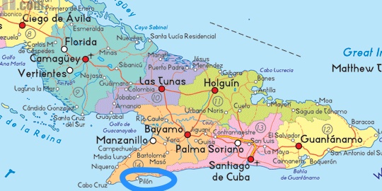
But are plans from here are to head to the south coast of Cuba.
Ragged Islands to Cuba
We do not know if we are going to make a ‘straight run’ to Santiago de Cuba from the Ragged Islands.
Or whether we are able to stop off at Great Inaugua Island on the way, to see the Flamingos.
If we can not get a long enough weather window to get down the Windward Passage and around the east coast of Cuba in one trip we may need to check into Cuba at Puerto Vita, and hop along the coast line to get east then south.
Cuba
As you know, it all depends on the weather. But we are looking forward to the adventure. Hope we are able to find internet and share our travels with you.


7 thoughts on “Bahamas to Cuba – Planned route”
We wish you safe and enjoyable passages and anchorages. We look forward to every post. Fair winds, Friends.
Thank you very much Cathy and Ed. Wish you were coming with us!
Have a great trip and please record yoru depth at the anchorages an possibly safe way points in and out !
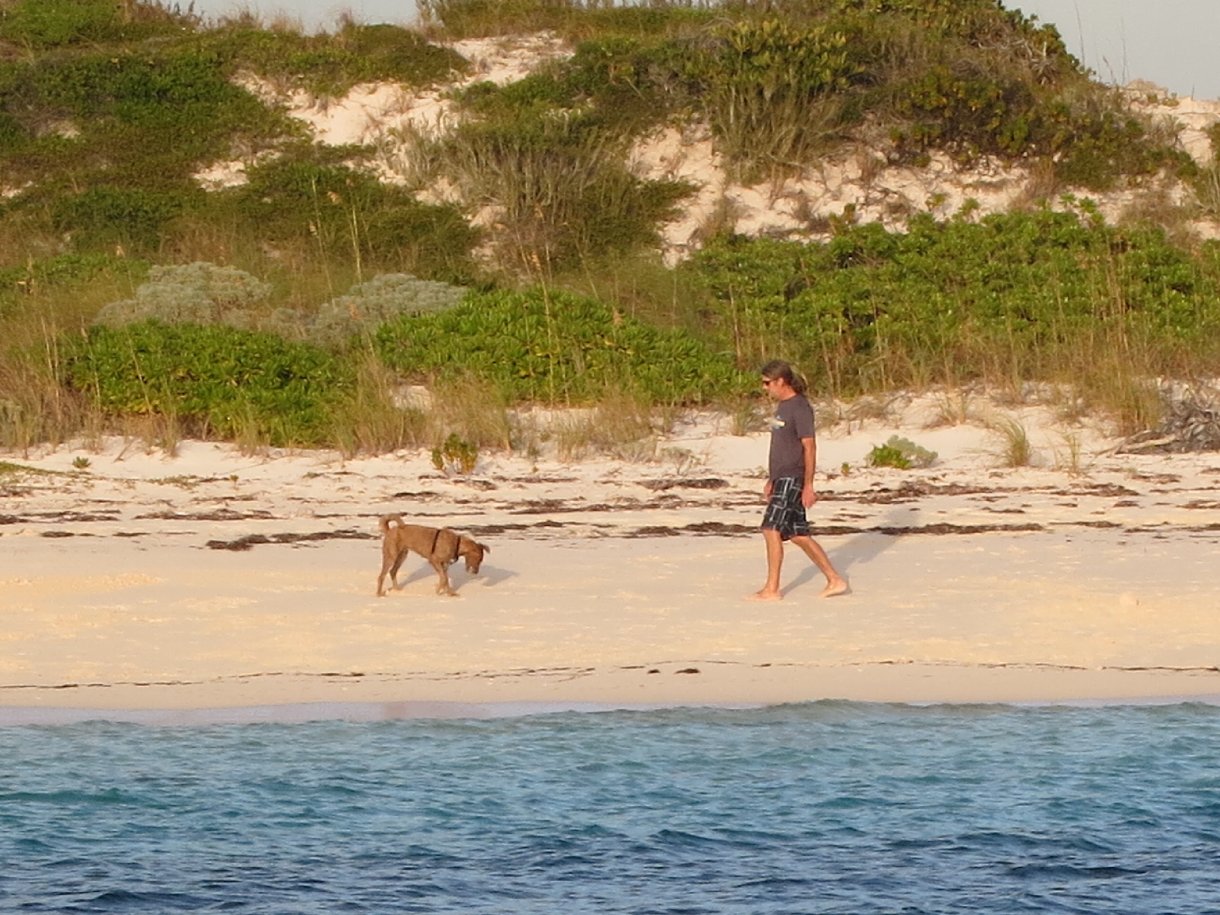
My dog Vienna says hello!
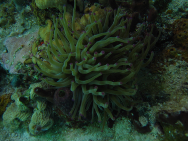
I hope you have a great trip. The Ragged Islands sounds good for fishing, and hopefully some lobsters for you. Enjoy Cuba. I hope Chris Parker announces some favourable winds for your trip!
Missing waking you up every morning at 6:30am to listen to the weather forecasts for the area. Are you enjoying your lye ins now?
Enjoying your posts. Fair winds on your travels. BTW we met Richard and Jayne on Morpheus of London. We have made it to St. Martin (yummy food and wine).
The French islands were some of our favourite stops. Definitely our favourite islands for restocking the larder.