Vessels with drafts greater then 1.5m wishing to visit the Jumentos (Ragged Islands) from the Exumas must either go all the way around Long Island, or cut across the Great Bahama Bank at the Comer Channel. We struggled to find information on the Comer Channel, especially tide times, so we wanted to share our experience (*)with other Mariners.
If all this technical data is not your thing, just skip over the bits that start with (*).
If you read our previous blog entry you will know that we used the fair NW winds to sail from George Town, Great Exuma Island to Thompson Bay, Long Island to get ourselves lined up to cross the Comer Channel the following day.
(*)Using Nassau tides (although we found some info indicating that tides in the Comer Channel were one and a half hours later) we figured out that we needed to be at the Comer Channel at 12:30pm to have 0.4m over the shallowest charted depths on the channel at 1.7m. Remember our boat has a depth of 2m. With low water Nassau at 7:30am and high water Nassau at 1:22pm we hoped to cross the channel on a rising tide…..just in case our depth calculations were incorrect. At least if we ran aground we would be floating again soon enough.
It was about 8nm from Thompson Bay, Long Island to the start of the Comer Channel. With between 10-15 knot winds predicted we decided to wait until 10:30am to depart. As we settled into a relaxing morning we saw quite a few vessels leave the harbour heading off ahead of us. We assumed that they had shallower drafts then us and could get over the Channel earlier. We also started to wonder if Water Cay was going to be a busy place.
10:30am came and we lifted the hook and headed off to towards the Comer Channel.

The headland at Thompson Bay really blocked the wind and as soon as we cleared it we had excellent wind 40’ off the nose and flat calm seas on the Bank.

We heard a conversation between two boats as we left, that made us giggle to ourselves. Mind you, my humans should not have been listening to someone else’s conversation, despite the fact that VHF radio is open to everyone, it is considered bad educate to listen in on other peoples conversations. Naughty humans.

One of the boats that had left ahead of us was calling back to their friends in Thompson Bay. “Are you coming” they asked. “Oh no” the anchored boat replied “We want to wait until there is enough wind to sail. We are sick of motoring everywhere”. The boat that had already left sympathized with them and told them. “Yes, there is no wind out here and we have had to motor”. Despite the human’s bad manners, listening in, they did not have the guts to say “Break…what planet are you guys on? The sailing is wonderful out here and we are making between 5-6 knots no problem”.
(*)The good sailing conditions meant we got to the start of the Comer Channel a little early, 12pm.

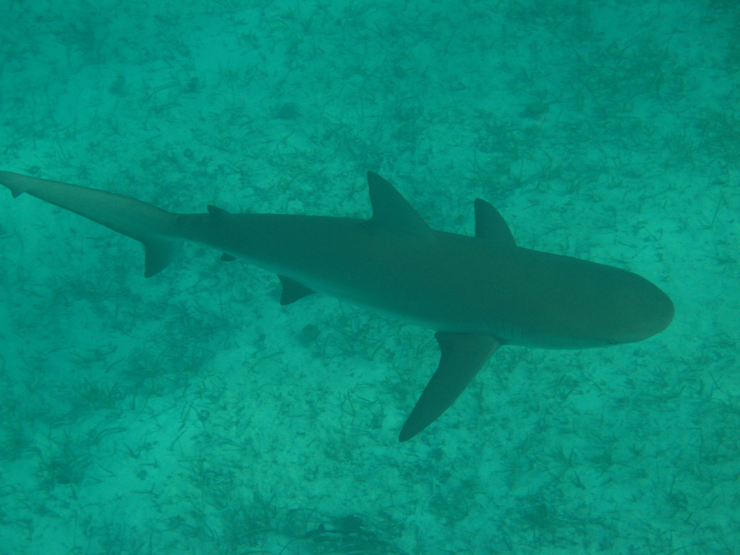
(*)We set a watch on the bow for any coral heads in the shallow water.
 (*) But we found this was redundant as the channel was completely sandy with no rock or coral.

(*) We used the suggested way points and route from our 2005 Maptech Charts that corresponded to our 2008 Garmin Chart Plotter.
(*)Eastern Comer Channel entrance: 23’20.8N, 75’19.1W
(*)Central right turn in Channel: 23’19.2N, 75’25.0W
(*)There is even an orange marker buoy on edge of the sandbank at the turn.

(*)Western Comer Channel exit: 23’20.5N, 75’32.0W
(*)There were a few shallow spots at the start of the channel, but we never saw a depth less than 2.3m.

Clear of the channel we still had another 23.5 nm to sail to get to our anchorage at Water Cay.
We got in about a half hour before sunset following behind a long line of vessels that had made the direct passage from George Town through the shallower Hog Cay Cut route. And yes the south anchorage was a little busy. Luckily there was room left in the area we wanted to anchor, between the Cay itself and some off lying rocks, and we sneaked in just in time.

If all this ‘palava’ does not appeal to you, we have just heard that their is a direct route from Black Point, Great Guana Cay, Exumas to Nurse Cay, Jumento Cays. Unfortunately we do not have all the details to share with you yet.


4 thoughts on “Bahamas,Thompson Bay, Long Island to Water Cay, Jumentos – The Comer Channel”
Huge help! Thank you
Doing a blog is lots and lots of work.
Our hope is that all that work helps someone else….some how.
I am glad to hear that writing down all the details of the canal passage helped you out. Thanks for sending us a reply to boaster our spirits.
Happy Sailing!
Would love to perpetually get updated outstanding site!
Dear Jennifer,
I will do what I can to keep the blog up to date with travel information, but it is a lot of work and time. Compounded by difficulty in finding internet. Compounded further by the cost of travelling…OK…the maintenance of a sail boat.
We are taking a ‘work’ break at the moment. in Panama, before we pass through the canal to the Pacific. We will share our adventures with you then. Patience.